
Elevation 425 m (1,394 ft) Area 5.7 km² Population 181 (31 Dec 2008) Dialling code 02676 | Time zone CET/CEST (UTC+1/+2) Local time Monday 12:30 PM Postal code 54552 | |
 | ||
Weather 14°C, Wind NE at 11 km/h, 53% Humidity | ||
Utzerath is an Ortsgemeinde – a municipality belonging to a Verbandsgemeinde, a kind of collective municipality – in the Vulkaneifel district in Rhineland-Palatinate, Germany. It belongs to the Verbandsgemeinde of Daun, whose seat is in the like-named town. The municipality is a state-recognized tourism community (Fremdenverkehrsgemeinde).
Contents
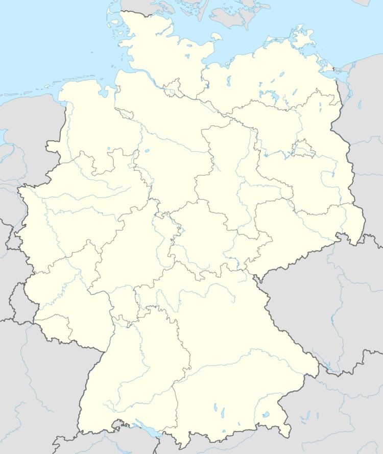
Map of 54552 Utzerath, Germany
Location
The municipality lies in the Vulkaneifel, a part of the Eifel known for its volcanic history, geographical and geological features, and even ongoing activity today, including gases that sometimes well up from the earth.
History
In 1518, the municipality was still called Otzenrode. The ending —rode makes it clear that the village arose from a clearing in the woods (roden means “clear” in German, in the context of felling woodland). The local scenery today, still heavily wooded, makes this easy to imagine.
The name Utzerath was first used in the 18th century, although it was first spelt Outzenrath.
Municipal council
The council is made up of 6 council members, who were elected by majority vote at the municipal election held on 7 June 2009, and the honorary mayor as chairman.
Mayor
Utzerath’s mayor is Erhard Annen, and his deputy is Werner Petry.
Coat of arms
The German blazon reads: Schildhaupt von oben links, nach unten schrägrechts hälftig geteilt. Im rechten silbernen Schildteil ein Antoniuskreuz mit Pilger-Glöckchen in rot, im linken grünen Schildteil eine silberne Axt und ein silbernes Eichenblatt.
The municipality’s arms might in English heraldic language be described thus: Per bend sinister argent a cross tau with a bell hanging from each arm gules and vert an axe bendwise sinister, the edge to sinister, below which an oakleaf bendwise sinister of the first.
The charges on the sinister (armsbearer’s left, viewer’s right) side, the axe and the oakleaf, refer to Utzerath’s beginnings as a clearing in the woods. The tau cross, shown here with pilgrims’ bells, is Saint Anthony’s attribute, thus representing the municipality’s and the church’s patron saint.