
 | ||
Utus Peak (Bulgarian: връх Утус, ‘Vrah Utus’ \'vr&h 'u-tus) is the rocky peak rising to 1217 m in Trakiya Heights on Trinity Peninsula in Graham Land, Antarctica.
Contents
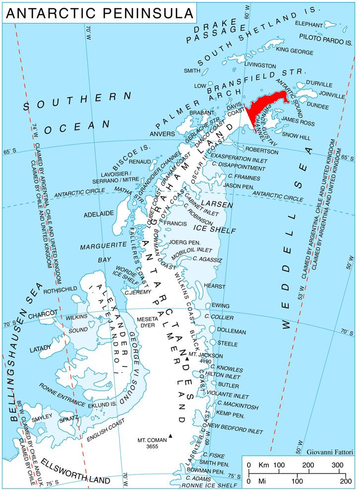
Map of Utus Peak, Antarctica
The peak is named after the ancient Roman town of Utus in Northern Bulgaria.
Location
Utus Peak is located at 63°45′23″S 58°29′10″W, which is 980 m south-southeast of Mount Daimler, 10.97 km southwest of Panhard Nunatak, 8.45 km north of Negovan Crag and 2.58 km east-northeast of Bozveli Peak. German-British mapping in 1996.
Maps
References
Utus Peak Wikipedia(Text) CC BY-SA