PIN 535 124 Local time Monday 3:41 PM | Time zone IST (UTC+5:30) Elevation 80 m | |
 | ||
Weather 37°C, Wind S at 13 km/h, 32% Humidity | ||
Uttaravalli or Uttaravilli is a village in Merakamudidam mandal, Vizianagaram district of Andhra Pradesh, India.
Contents
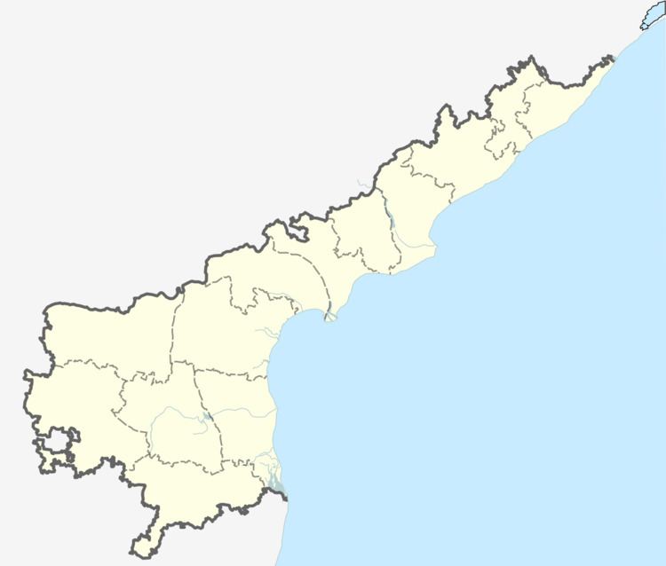
Map of Uttaravalli, Andhra Pradesh 535124
Uttaravalli is the main village in Merakamudidam mandal. It has more prominence than the mandal headquarters. It is well known for Bananas. There is a post office at Uttaravilli. Uttaravilli sub-post office working under Bobbili head office and Parvathipuram Divisional office. Uttravilli (535124) has eight branch offices 1. Akulakatta 2. Gangannapadu 3. Kunayavalasa 4. Kusumuru 5. M.Ravivalasa 6. Nandigam 7. Rejeru 8. Vadada
Geography
Uttaravilli is located at 18.4667°N 83.4833°E / 18.4667; 83.4833. It has an average elevation of 80 meters (265 feet).
Demographics
According to Indian census, 2001, the demographic details of this village is as follows:
References
Uttaravalli Wikipedia(Text) CC BY-SA
