
Country Thailand Time zone ICT (UTC+7) Local time Monday 5:04 PM Province Uttaradit Province | Elevation 64 m (210 ft) Area 13.49 km² Population 99,509 (2000) Number of airports 1 | |
 | ||
Weather 34°C, Wind SW at 5 km/h, 42% Humidity University Uttaradit Rajabhat University | ||
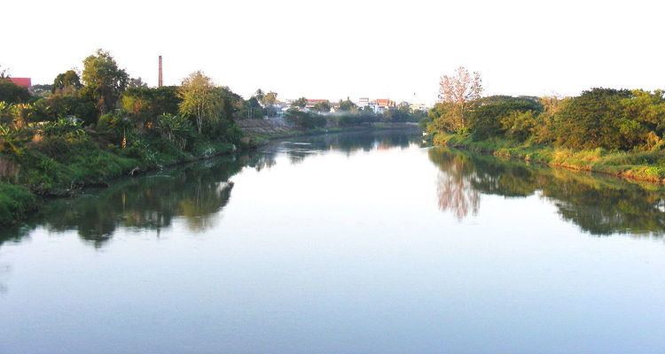
The original name of Mueang district, Uttaradit, was Bang Pho. This district was under the control of Phi Chai District. Later, it was established as Uttaradit Province and Bang Pho District became the capital district. It was changed to mueang district recently. The district is the seat of government and the center of economic activity of Uttaradit Province. Uttaradit is 483 km north of Bangkok.
Contents
Thailand uttaradit ii contour hd
Geography
The district is surrounded by the following districts:
History
In the past, Mueang District was called "Bang Pho Tah It". It grew rapidly due to its harbor. King Rama V ordered the capital moved from Phi Chai District to Muang District. Next, in the reign of King Rama VI, the king ordered the incorporation of Mueang District into Uttaradit Province.
Local administration
Mueang Uttaradit District has 18 sub-districts:
Climate
Uttaradit used to hold the record for the highest temperature ever recorded in Thailand: 44.5 °C (112.1 °F) observed at Uttaradit on 27 April 1960. This was broken when temperatures in Mae Hong Son reached 44.6 °C (112.3 °F) on 28 April 2016.
Uttaradit has a tropical savanna climate (Köppen climate classification Aw). Winters are dry and very warm. Temperatures rise until April, which is very hot with an average daily maximum of 38.2 °C (100.8 °F). The monsoon season runs from May through October, with heavy rain and somewhat cooler temperatures during the day, although nights remain warm.
Transport
Uttaradit is served by a station on the State Railway of Thailand. The nearest airport is at Phitsanulok.
Attractions
The Wat Tha Thanon temple in Uttaradit is home to a historic Luang Phor Phet Buddha image dating back to the 13th century.