
Established 1 January 2006 Area code 0343 Local time Monday 11:09 AM | Time zone CET (UTC+1) Elevation 7 m | |
 | ||
Postcode 3940–3941, 3950–3959, 3970–3972 Weather 8°C, Wind SE at 5 km/h, 87% Humidity Points of interest | ||
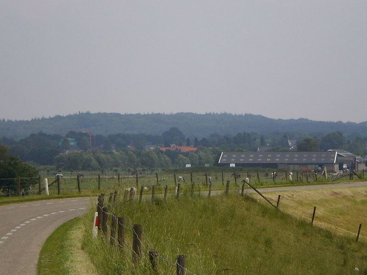
Utrechtse Heuvelrug ( [ˈytrɛxtsə ˈɦøːvəlrɵx]; English: Utrecht Hill Ridge) is a municipality in the Netherlands, in the province of Utrecht. It was formed on 1 January 2006 by merging the former municipalities of Amerongen, Doorn, Driebergen-Rijsenburg, Leersum, and Maarn.
Contents
- Map of Utrechtse Heuvelrug Netherlands
- Utrechtse heuvelrug 1000 subscribers 3 18 14 day 1356
- Name
- Population centres
- Transportation
- Twin towns
- References
Map of Utrechtse Heuvelrug, Netherlands
Utrechtse heuvelrug 1000 subscribers 3 18 14 day 1356
Name
The name of the municipality is derived from the Utrecht Hill Ridge, a ridge of sandhills that covers part of the province of Utrecht. All the former municipalities that merged into Utrechtse Heuvelrug are situated on the southern part of this ridge. In this southern part lies the Utrechtse Heuvelrug National Park, that covers 6,000 ha (15,000 acres) and was established in 2003.
Population centres
The municipality of Utrechtse Heuvelrug consists of the following cities, towns, villages and/or districts: Amerongen, Darthuizen, Doorn, Driebergen-Rijsenburg, Leersum, Maarn, Maarsbergen, Overberg.
Dutch topographic map of the municipality of Utrechtse Heuvelrug, June 2015
Transportation
Railway stations: Driebergen-Zeist, Maarn