
District Mahaboob Nagar Telephone code 08506-286127 (MDO) Elevation 396 m | Time zone IST (UTC+5:30) Vehicle registration TS O6 | |
 | ||
Utkur or Utkoor is a Mandal in Mahbubnagar district, Andhra Pradesh.
Contents
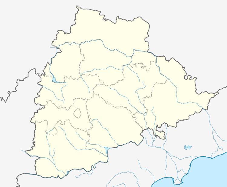
Map of Utkoor, Telangana
Geography
Utkur is located at 16.6500°N 78.5167°E / 16.6500; 78.5167. It has an average elevation of 396 metres (1302 ft). Utkoor is one of the 64 Mandals (Tehsil) in Mahboobnagar located about 60 km towards west from the District headquarters District bordering Karnataka state. Utkoor has 8,879 Households spread across total 33 villages and 18 panchayats. The nearest town to Utkoor is Narayanpet about 15 km away with good road connectivity. There is no railway station within 10 km and the nearest big town is Narayanpet which is 15 kilometers away. The Hyderabad to Raichur highway runs through Utkoor Mandal.
Education Institutions
Utkoor has Zilla Parishad government primary and high school and there is a Govt junior college. MPHS is a Telugu medium co-education high school in Pedddajatram in Utkoor Mandal. Dayanand Vidya Mandir Primary School is run by the Arya Samaj society of Utkoor. There are two private English medium schools Nalanda High School and Milat-e-Islamia High School in Utkoor.The colleges near to Utkoor GOVT JR COLLEGE, MALDAKAL, Sri Krishnaveni Degree College and MANIKANTA JR COLLEGE MAKTHAL, the nearest being 15 km away.
Villages
The villages in Utkoor mandal include: