
Population 706 (2011 Census) Sovereign state United Kingdom Dialling code 01829 | Civil parish Utkinton Local time Monday 9:45 AM | |
 | ||
Unitary authority Weather 9°C, Wind S at 13 km/h, 75% Humidity | ||
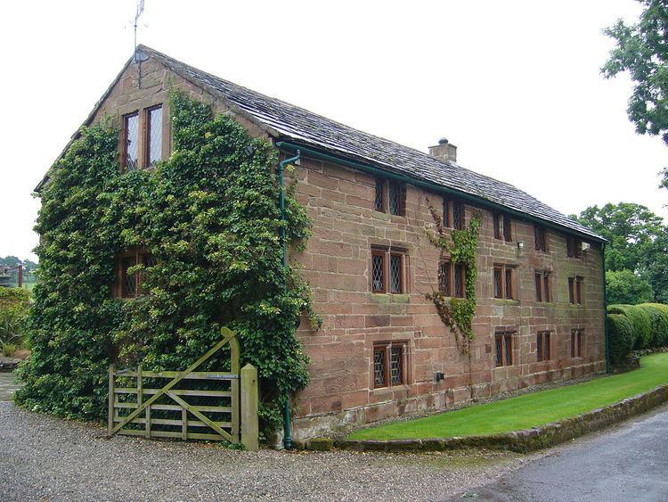
Utkinton is a civil parish and small village in the unitary authority of Cheshire West and Chester and the ceremonial county of Cheshire, England. It is approximately 8 miles west of Winsford and north of Tarporley and 9 miles east of Chester. Utkinton is at the heart of the local farming community. The upper part of Utkinton is known as 'Quarry Bank'.
Map of Utkinton, Tarporley, UK
It has a small population of around 600, measured at 706 at the 2011 census. There is a shop, with a cafe and garden centre, a small Church of England school, a church and a Methodist Chapel that has fallen into disuse.
Utkinton is on the Sandstone Trail.
References
Utkinton Wikipedia(Text) CC BY-SA