Trisha Shetty (Editor)

Utiel

Updated on
Edit
Like
Comment
Share on FacebookTweet on TwitterShare on LinkedInShare on Reddit
Comarca
  
Requena-Utiel

Demonym(s)
  
Utielano, Utielana

Postal code
  
46300

Elevation
  
720 m

Population
  
12,082 (2014)

Province
  
Province of Valencia

Judicial district
  
Requena

Time zone
  
CET (UTC+1)

Official language(s)
  
Spanish

Area
  
236.9 km²

Local time
  
Monday 10:27 AM

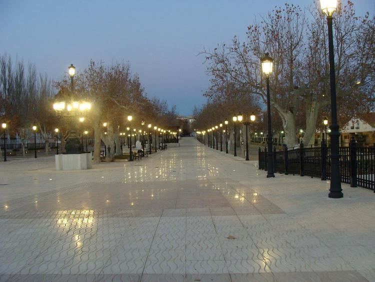
Utiel wwwhotelroomsearchnetimcityutielspain4jpg

Weather
  
13°C, Wind E at 3 km/h, 43% Humidity

Sancho 003 utiel


Utiel is a municipality in the comarca of Requena-Utiel in the Valencian Community, Spain.

Contents

Map of 46300 Utiel, Valencia, Spain

According to the 2014 census, the municipality has a population of 12,082 inhabitants.

The Shrine of El Remedio is located on top of the Sierra de Utiel range, near Utiel.

Subida a utiel 2016


Population centres

  • Utiel town.
  • Las Casas, at the feet of the Sierra de la Bicuerca, with 350 inhabitants.
  • Los Corraleses, about 5 km from Utiel town, with 327 inhabitants
  • Las Cuevas, with 607 inhabitants. The railway station of the Cuenca-Valencia line is located in this village.
  • Estenas, in the Sierra del Negrete, with 34 inhabitants
  • La Torre, about 13 km NW of Utiel town, with 145 inhabitants
  • Other minor settlements include El Remedio, Casas de Medina and El Hontanar.
  • References

    Utiel Wikipedia