
Country Thailand Time zone THA (UTC+7) Area 407.9 km² Geocode 3310 | Seat Kamphaeng Postal code 33120 Province Sisaket Province | |
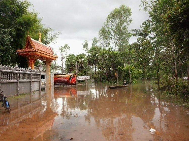 | ||
Uthumphon Phisai (Thai: อุทุมพรพิสัย) is a district (Amphoe) in the western part of Sisaket Province, northeastern Thailand.
Contents
Map of Uthumphon Phisai District, Sisaket, Thailand
Geography
Neighboring districts are (from the north clockwise) Rasi Salai, Mueang Sisaket, Wang Hin, Prang Ku, Huai Thap Than, Mueang Chan, Pho Si Suwan and Bueng Bun.
History
The district goes back to the Mueang Uthumphon Phisai, which was converted into a district in 1911, then named Phachim Sisaket (ปจิมศีร์ษะเกษ). In 1913 it was renamed back to Uthomphon Phisai. The district office was located in Ban Samrong Yai, tambon Samrong.
Administration
The district is subdivided into 19 subdistricts (tambon), which are further subdivided into 232 villages (muban). Kamphaeng is a township (thesaban tambon) which covers parts of tambon Kamphaeng. There are further 19 Tambon administrative organizations (TAO).
Missing numbers are tambon which now form the districts Mueang Chan and Pho Si Suwan.