
Pincode 631605 Elevation 74 m Population 4,528 (2011) | Time zone IST (UTC+5:30) Area code(s) +91-44 Area 8.73 km² | |
 | ||
Uthukadu (Tamil: ஊத்துக்காடு) is a small village in Walajabad panchayat union, Kanchipuram district, Tamil Nadu, India. Tamil Nadu state highway 48 is passing through Uthukadu village. Uthukadu is 4.5 kilometres (2.8 mi) distance from its Walajabad town, 19.7 kilometres (12.2 mi) distance from its district main city Kanchipuram and 67.7 kilometres (42.1 mi) distance from its state main city Chennai.
Contents
- Map of Uthukadu Tamil Nadu
- Festivals in Uthukadu
- School
- Profession
- Religions
- Colleges near by Nathanallur
- Residential Projects
- References
Map of Uthukadu, Tamil Nadu
Festivals in Uthukadu
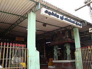
There are many temples in Uthukadu. Carnivals are celebrated for each temple in different periods.
List of popularly known temple are below.
School
Panchayat Union School is established by 1968s. Then the school got certification and the name is converted into High School.
Profession
Most of the village people are land lards and Koolis. Agriculture is the main day to day work for the village people. But nowadays the agriculture is drastically coming down and real estate business is dominating in the people mind.
Religions
90% of the village peoples are Hindu.
Colleges near by Nathanallur
- Lord Venkateswaraa Engineering College, Puliambakkam
- Adhi College of Engineering and Technology, Sankarapuram
- Esenes Institute of Teacher Education, Walajabad
- Cholan Teacher Training Institute, Sambarambakkam
- Amirtham Institute of Management Studies, Walajabad
Residential Projects
- Inno GeoCity, Thenneri