
Existed: 1957 – present Constructed 1957 | Length 53.05 km | |
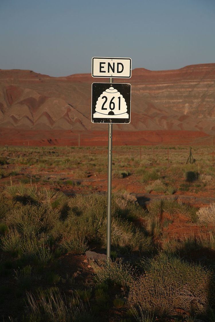 | ||
South end: US-163 near Mexican Hat North end: SR-95 near Natural Bridges National Monument | ||
State Route 261 is a state highway located entirely within south-central San Juan County, Utah. It runs 34 miles (55 km) north, from the junction of U.S. Route 163 (3 miles (4.8 km) north of Mexican Hat), to the junction with State Route 95, just east of Natural Bridges National Monument.
Contents
Map of UT-261, Mexican Hat, UT 84531, USA
The highway is part of the Utah section of the Trail of the Ancients, a National Scenic Byway. It includes steep switchbacks as it traverses the Moki Dugway.
Route description
From its southern terminus north of Mexican Hat, SR-261 commences in a westerly direction. After turning north, the route encounters the Moki Dugway, becoming an unpaved road. Following this, the road continues north and terminates at SR-95 west of Blanding.
History
The Moki Dugway was constructed in 1958 by Texas Zinc, a mining company, to transport uranium ore from the "Happy Jack" mine in Fry Canyon to the processing mill in Mexican Hat. The State Road Commission added SR-261 to the state highway system in 1957, following its present alignment from SR-47 (now US-163) north of Mexican Hat to SR-95.