
Time zone CET (UTC+1) Area 24.46 km² Local time Monday 8:29 AM | County Bács-Kiskun Postal code 6332 Population 1,001 (2015) Area code 78 | |
 | ||
Weather 12°C, Wind N at 3 km/h, 54% Humidity | ||
Dr nvide 2 usz d
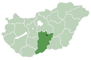
Uszód (Croatian: Vusad) is a village in Bács-Kiskun county, in the Southern Great Plain region of southern Hungary.
Contents
- Dr nvide 2 usz d
- Map of UszC3B3d 6332 Hungary
- Usz d k zs g r gen s ma
- History
- Geography
- Economy
- References
Map of Usz%C3%B3d, 6332 Hungary
Usz d k zs g r gen s ma
History
The village was first mentioned in historical records in 1318.
Geography
It covers an area of 24.46 km2 (9 sq mi) and has a population of 1001 people (2015).
Economy
The economy is primarily based on agriculture. The village has a village hall.
References
Uszód Wikipedia(Text) CC BY-SA