
Settlement administrative territories 1 Area 42,511 km² | Selo administrative territories 10 Rural localities 37 Founded 1929 | |
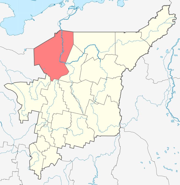 | ||
Ust-Tsilemsky District (Russian: Усть-Ци́лемский райо́н; Komi: Чилимдiн район) is an administrative district (raion), one of the twelve in the Komi Republic, Russia. It is located in the northwest of the republic. The area of the district is 42,500 square kilometers (16,400 sq mi). Its administrative center is the rural locality (a selo) of Ust-Tsilma. As of the 2010 Census, the total population of the district was 13,036, with the population of Ust-Tsilma accounting for 37.4% of that number.
Contents
- Map of Ust Tsilemsky District Komi Republic Russia
- Geography
- Administrative and municipal status
- References
Map of Ust-Tsilemsky District, Komi Republic, Russia
Geography
The district's administrative center is located on the Pechora River across from the mouths of both the Tsilma and Pizhma Rivers.
Administrative and municipal status
Within the framework of administrative divisions, Ust-Tsilemsky District is one of the twelve in the Komi Republic. The district is divided into ten selo administrative territories and one settlement administrative territory, which comprise thirty-seven rural localities. As a municipal division, the district is incorporated as Ust-Tsilemsky Municipal District. Its eleven administrative territories are incorporated as eleven rural settlements within the municipal district. The selo of Ust-Tsilma serves as the administrative center of both the administrative and municipal district.