
Country Philippines Province Masbate Barangays Area 163.2 km² Population 53,602 (2010) | Region Bicol (Region V) District 3rd district Time zone PST (UTC+8) Mayor Salvadora O. Sanchez Local time Monday 1:34 PM | |
 | ||
Weather 26°C, Wind NE at 29 km/h, 82% Humidity | ||
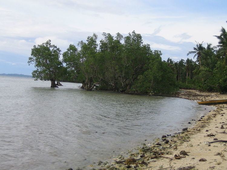
Uson is a third class municipality in the province of Masbate, Philippines. It is about 42 kilometres (26 mi) southeast of Masbate City, connected by a paved coastal road, and located on Uson Bay which has an approximate area of 15 square kilometres (5.8 sq mi). According to the 2010 census, it has a population of 53,602 people.
Contents
Map of Uson, Masbate, Philippines
Geography
The municipality is bounded by the municipality of Mobo on the north with the Balatucan river; on the east Uson is bounded by the Barangay Balocawe of the municipality of Dimasalang; on the south it is bounded by the Baldosa river and Palo Bandera of Cawayan; on the west the municipality is bounded by Milagros.
With and elevation of 604 metres (1,982 ft) above sea level, Mount Uac is the highest point of the municipality. The mountain borders the three municipalities of Uson, Mobo and Milagros.
Uson has several rivers, including Balucaw River, Buenavista River, Buracan River, Calpi River, Dap-dap River, Mongahay River, Pinangapugan (Quezon) River, and the Sawang River which all flow into Uson Bay. East of the poblacion a lake can be found, Lake Calero.
Seismic activity
The Philippine Fault System from which almost all of the recorded strong earthquakes in the Philippines emanated, traverses eastern Uson. As a result, strong seismic activity in the form of frequent earthquakes can be experienced. Link to PHIVOLCS website
Barangays
Uson is politically subdivided into 35 barangays.