
Population 2,251 (2006 census) Postcode(s) 6230 Postal code 6230 | Established 1980s Area 3.8 km² | |
 | ||
Location 7 km (4 mi) SSW of Bunbury | ||
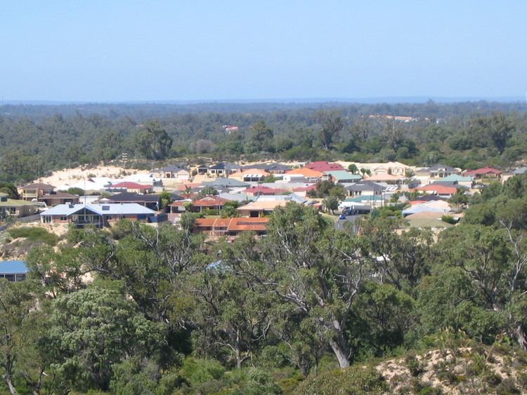
Usher is an outer southern suburb of Bunbury, a city in Western Australia, located within the City of Bunbury local government area. Located between the Indian Ocean coast and Bussell Highway, it is the southernmost continuous suburb in Bunbury's metropolitan area.
Contents
Map of Usher WA 6230, Australia
Demographics
In the 2006 census, Usher had a population of 2,251.
Usher residents had a median age of 29—well below the median of 37 in the Bunbury statistical district—and the median individual income was slightly below-average for the region—$479 per week compared with $492 per week. The population of Usher was predominantly Australian-born—79.4% as at the 2006 census, and at the 2006 census, 4.62% of residents identified as Indigenous Australians.
The most popular religious affiliations in descending order in the 2006 census were no religion, Anglican, Roman Catholic and Uniting.
Facilities
Two large areas within the suburb have been set aside as open space - the southern part contains tuart forest, officially named the Usher-Dalyellup Regional Park in 2003, with an interpretative walkway leading to Maidment Parade in neighbouring Dalyellup which was opened on 8 October 2006 by the Minister for the South West, and a western section extending southward from Maidens Hill Reserve.
Education
No schools are located within Usher's boundaries, but in Withers to the north, Maidens Park Primary School (formerly Withers Primary School) and a Catholic primary school, St Joseph's, provide for Usher residents' educational needs. Usher is within the catchment area for Newton Moore Senior High School and is about 2.5 kilometres (1.6 mi) from the Bunbury campus of Edith Cowan University.
Transport
Usher is served by the 301 and 302 routes from Bunbury's central bus station, terminating at the intersection of Mosedale Avenue and Nalbarra Drive, with a journey time of between 12 and 22 minutes. The route is operated by TransBunbury for the Public Transport Authority.