
Postcode(s) 2656 Postal code 2656 | County Urana Elevation 151 m Local time Monday 6:57 AM | |
 | ||
Weather 12°C, Wind SE at 5 km/h, 67% Humidity | ||
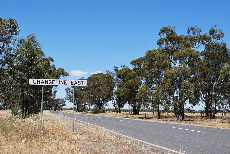
Urangeline East is a rural community in the central part of the Riverina. It is situated by road, about 9 kilometres southeast from Urangeline and 19 kilometres east from Bidgeemia.
Map of Urangeline East NSW 2656, Australia
Bendabo Post Office opened on 1 November 1928, was renamed Urangeline East in 1930 and closed in 1971.
It was serviced by the Rand branch railway line before the line was closed in 1975.
References
Urangeline East, New South Wales Wikipedia(Text) CC BY-SA