
Population 192,781 (2012) | ||
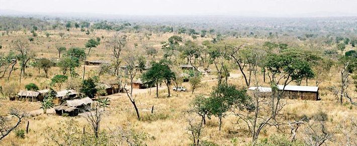 | ||
Urambo District is one of the seven districts of the Tabora Region of Tanzania. It is bordered to the north by the Kaliua District, to the east by the Uyui District, to the southeast by the Sikonge District, and to the southwest by the Katavi Region. Its administrative seat is the town of Urambo.
Contents
Map of Urambo, Tanzania
According to the 2002 Tanzania National Census, the population of the Urambo District was 370,796.
Between 2002 and 2012, Kaliua District was split off from Urambo District. That is why the population of Urambo District declined in this period. According to the 2012 Tanzania National Census, the population of Urambo District was 192,781.
Transport
Unpaved Trunk road T18 from Tabora to Kigoma passes through the district.
The Tanzanian Central Line train - from Dar es Salaam to Kigoma - passes through the district. There is a train station in Urambo town.
Administrative divisions
In 2002, Urambo District was administratively divided into 26 wards. As of 2012, only 16 wards remained after Kaliua District was split off.