
Sovereign state United Kingdom Local time Sunday 8:47 PM | ||
 | ||
Weather 10°C, Wind S at 8 km/h, 87% Humidity | ||
Upstreet is a village in the civil parish of Chislet in Kent, England. It is in the local government district of Canterbury, and the electoral ward of Marshside.
Map of Upstreet, Canterbury, UK
Upstreet is a ribbon development along the A28 road. The majority of houses are new and dating from the 1950s onwards. However, there are a number of older houses such as the Grade II listed building 'Grove Court' or the Grade I listed 'Upstreet Farmhouse', which was built in the 16th century and stands in an acre of its own land. Also listed are 'La Cresi D'or' and 'The Vision House' (No89 and No94)
Close to Upstreet is the Stodmarsh National Nature Reserve, Grove Ferry Picnic Area and the River Stour. Also the Saxon Shore Way (long distance footpath) also passes the village between Chislet and Stourmouth.
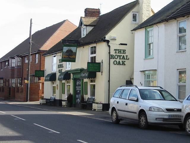
Upstreet has a few services (a shop, two elderly care homes, two pubs and one car sales lot), the post office and garage having closed through 2015. The number of services is declining due to rising car ownership. For example, 45 years ago there was a railway station, haberdashery, greengrocer's, butcher's, baker's etc. However now there is no railway station and the shop consolidates the uses of a greengrocer's, haberdashery, baker's, butcher's, etc. all under one roof.