
Elevation 194 m Population 6,697 (2001) | Time zone IST (UTC+5:30) Local time Monday 12:24 AM | |
 | ||
Weather 28°C, Wind SE at 3 km/h, 73% Humidity | ||
Uppiliapuram
Uppiliapuram (also spelt as Uppiliyapuram) is a panchayat town in Tiruchirappalli district in the Indian state of Tamil Nadu.
Contents
- Uppiliapuram
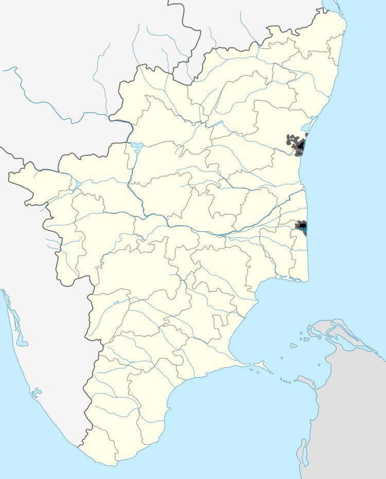
- Map of Uppiliapuram Tamil Nadu 621011
- Uppiliapuram to thuraiyur walking prostate
- Geography
- Demographics
- Politics
- References
Map of Uppiliapuram, Tamil Nadu 621011
Uppiliapuram to thuraiyur walking prostate
Geography
Uppiliyapuram is located at 11.27°N 78.52°E / 11.27; 78.52. It has an average elevation of 194 m (636 ft).
Demographics
As of 2001 India census, Uppiliapuram had a population of 6697. Males constitute 50% of the population and females 50%. Uppiliapuram has an average literacy rate of 65%, higher than the national average of 59.5%: male literacy is 74%, and female literacy is 55%. In Uppiliapuram, 10% of the population is under 6 years of age.
Politics
Uppiliapuram assembly constituency (ST) is part of Perambalur (Lok Sabha constituency).
References
Uppiliapuram Wikipedia(Text) CC BY-SA