
Population 1,166 Sovereign state United Kingdom | OS grid reference SE135085 Local time Sunday 7:52 PM Dialling code 01484 | |
 | ||
Weather 9°C, Wind SW at 5 km/h, 65% Humidity | ||
Upperthong is a village approximately 950 feet (290 m) above sea level near the town of Holmfirth in the Holme Valley, approximately seven miles south of Huddersfield, West Yorkshire, England.
Contents
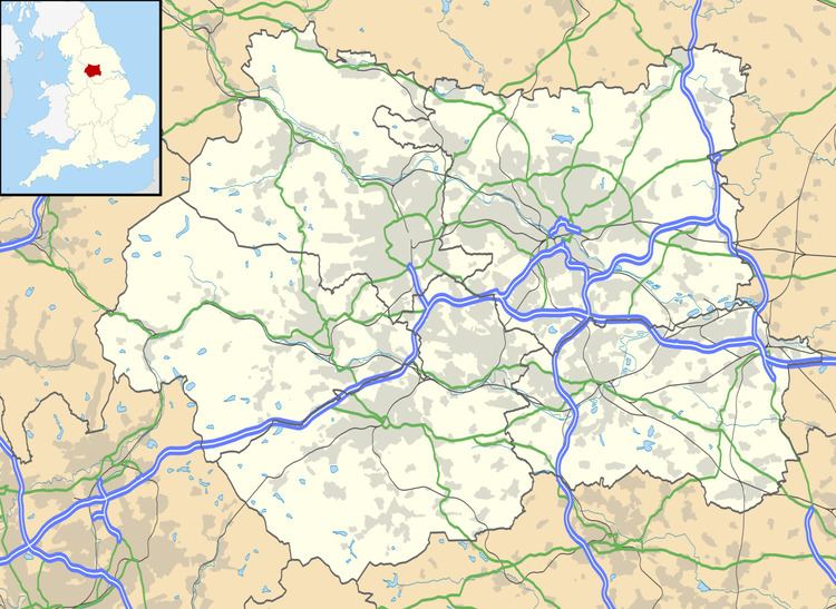
Map of Upperthong, Holmfirth, UK
History
The name Upperthong may be derived from the Danish 'Thing' (a place of military gathering) - there is also a Netherthong - which suggests a link to the Viking invaders who took control of large areas of the North East of England. The name could also be derived from the Viking word 'thong', meaning a strip of land. Upperthong is set on higher ground than Netherthong, suggesting the names could refer respectively to an upper strip of land and a lower strip of land.
Politics
Upperthong has been represented by Jason McCartney (Conservative) since his victory in May 2010.
Education
Upperthong Junior and Infant School takes children aged 4 to 11 in 7 single aged classes. The school provides a high level of education to its 192 pupils with an above average overall score in the key stage 1 and 2 league tables.
Sport
Although small, Upperthong manages to support a cricket team in the Drakes Huddersfield Cricket League and a football team, who play in Division 4 of the Huddersfield and District Association League.
Several roads in Upperthong form part of the southern section of National Route 68 of the National Cycle Network - the Pennine Cycleway, the route follows Upperthong Lane from its start in Holmfirth, and continues along Wickins Lane and Wolfstones Road.