
OS grid reference SU5802654675 Country England Post town TADLEY Shire county Hampshire Dialling code 01256 | Region South East Sovereign state United Kingdom Postcode district RG26 5 District Basingstoke and Deane UK parliament constituency Basingstoke | |
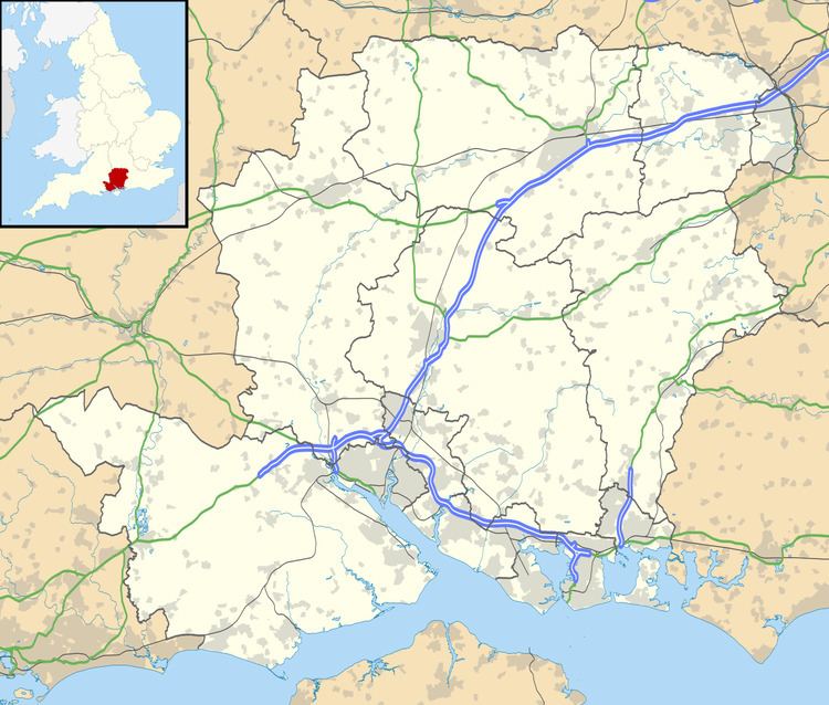 | ||
Upper Wootton is a small village in the civil parish of Wootton in the Basingstoke and Deane district of Hampshire, England. Its nearest town is Tadley, which lies approximately 4.8 miles (7.8 km) north-east from the village.
Map of Upper Wootton, Tadley, UK
Half a mile north-east of the village is the overgrown ring motte known as Woodgarston Castle, a possible location for the 'Castle of the Wood' recorded as having been stormed by King Stephen in 1147.
References
Upper Wootton Wikipedia(Text) CC BY-SA