
Population 1,046 (2011 census) Civil parish Upper Rissington Local time Sunday 7:11 PM UK parliament constituency The Cotswolds | OS grid reference SP204198 Sovereign state United Kingdom Dialling code 01451 | |
 | ||
Weather 11°C, Wind W at 8 km/h, 64% Humidity | ||
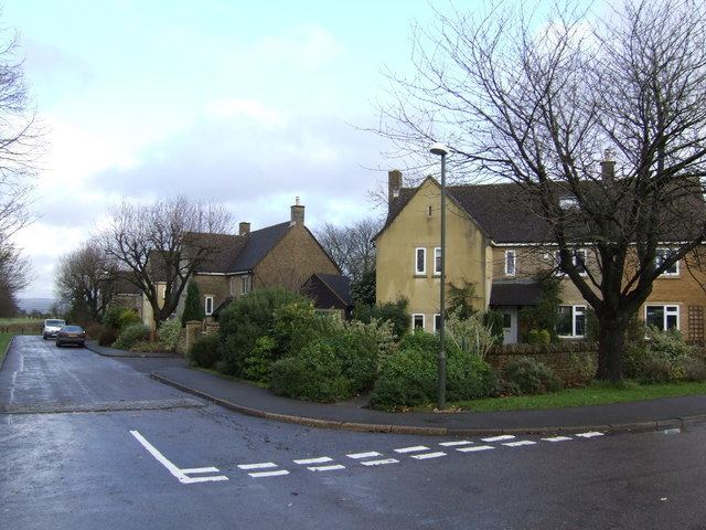
Upper Rissington is a village and civil parish in the Cotswold district of Gloucestershire, England. It is located about two-and-a-half miles east of Bourton-on-the-Water. According to the Gloucestershire Mid-2004 Ward and Parish Population Estimates it had a population of 994.
Contents
- Map of Upper Rissington Cheltenham UK
- New homes for sale in upper rissington victory fields linden homes
- Local amenities
- Governance
- References
Map of Upper Rissington, Cheltenham, UK
The village is situated next to the site of RAF Little Rissington, and much of its housing was built as officers' quarters. These were sold by the Ministry of Defence in 1996 to developers, who modernised the properties and sold them on. The street names give a clue to the village's former life, having names such as Sopwith Road and Avro Road.
New homes for sale in upper rissington victory fields linden homes
Local amenities
There is a small shop operated by the MidCounties Co-operative Society in the village. There is also a village green, children's play area community hall, hairdressers and gym.
Governance
The village is the most populous area of the 'Rissingtons' electoral ward. This ward starts in the south at Great Rissington and stretches north to Icomb. The total population taken at the 2011 census was 2,103.