
Country Burma Status Operational Height 103 m | Purpose Power Opening date December 11, 2015 Construction began 2005 | |
 | ||
Owner Ministry of Electric Power Similar Yeywa Dam, Tasang Dam, Shweli I Dam, Hatgyi Dam, Hlawga National Park | ||
The Upper Paunglaung Dam is a gravity dam on the Paunglaung River, about 40 km (25 mi) east of Pyinmana on the border of Naypyidaw Union Territory and Shan State, Burma. The primary purpose of the dam is hydroelectric power generation it will support a 140 megawatts (190,000 hp) power station. Preliminary construction on the dam site began in January 2005 and roller-compacted concrete placement for the dam commenced in October 2010. The dam is expected to impound its reservoir and be complete in 2015. When complete, it is expected to regulate the river and improved power generation at the downstream Lower Paunglaung Dam.
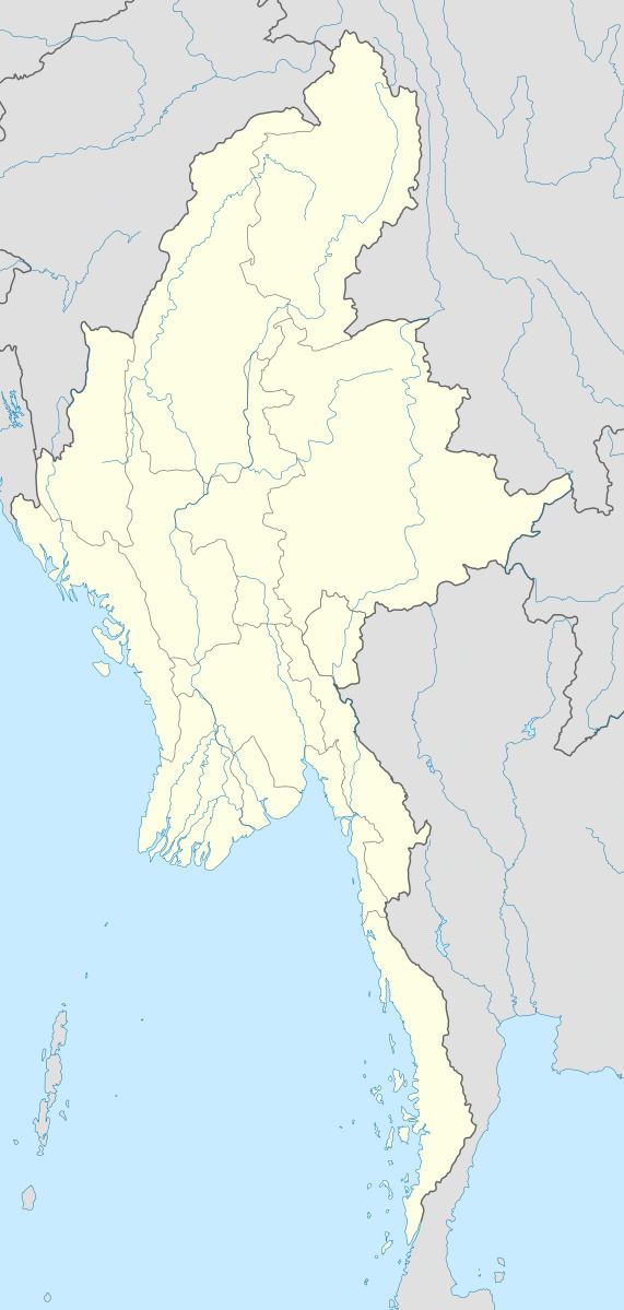
Map of Upper Paunglaung Dam, Myanmar (Burma)
The dam will force the relocation of some 15,000 residents which has drawn backlash from locals to international organizations. Many have already relocated but complain that their new land is of an insufficient size, has no power supply or natural resources to work.