
OS grid reference SU312803 Local time Sunday 6:42 PM | Sovereign state United Kingdom | |
 | ||
Weather 14°C, Wind NW at 5 km/h, 53% Humidity | ||
Upper Lambourn is a small village in the county of Berkshire, England. The village is situated in the civil parish of Lambourn , and is 1.2 miles (2 km) to the north-west of the village of Lambourn, just off the Lambourn to Shrivenham road. The parish is within the district of West Berkshire, close to the point where the counties of Berkshire, Oxfordshire and Wiltshire meet.
Contents
Map of Upper Lambourn, Hungerford, UK
Geography
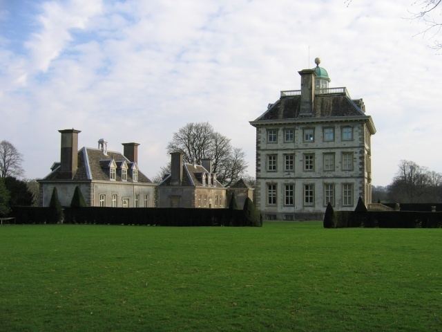
Upper Lambourn has several sites of Special Scientific Interest (SSSI) near the village, these include the famous prehistoric Seven Barrows. Other sites of SSSI near the village are Croker's Hole, Parkfarm Down and Fognam Chalk Quarry. Ashdown House, of which part of the grounds is also an SSSI, lies approximately 2.5 miles (4.0 km) to the north-west, on the Shrivenham road.