
 | ||
Upper Kama Upland (Russian: Верхнекамская возвышенность) is an elevation in the headwaters of Kama and Cheptsa rivers, located on the area of Udmurt Republic, Perm Krai and Kirov Oblast, Russia.
Map of Upper Kama Upland, Permskiy Kray, Russia, 617250
On the east slopes start such right tributaries of Kama River as Kosa, Inva and Obva; on the other side of the watershed is the source of Kama. The height of the relief in the most elevated part of the upland reaches 300–335 m (highest point in mount Krasnoyar, 337 m). Average elevations are 240–280 m. There are oil reserves In the depths of upland: the largest fields are Krasnokamsk and Mishkinskoye. Considerable reserves of peat.
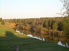
Most of upland is covered by coniferous forests.
References
Upper Kama Upland Wikipedia(Text) CC BY-SA