
Population 5,228 (2011) Country Wales Area 4.74 km² Dialling code 1633 Post town NP postcode area | OS grid reference ST 275 965 Sovereign state United Kingdom Local time Sunday 6:11 PM | |
 | ||
Weather 14°C, Wind SW at 11 km/h, 54% Humidity | ||
The queen inn in upper cwmbran
Upper Cwmbran (Welsh: Cwmbrân Uchaf) is a suburb of Cwmbran, Torfaen in Wales. It lies in between the suburbs of Pontnewydd and Thornhill. It is a community and electoral ward of Torfaen County Borough Council.
Contents
- The queen inn in upper cwmbran
- Map of Upper Cwmbran UK
- Axial scx10 dingo upper cwmbran
- History Amenities
- Notable People
- References
Map of Upper Cwmbran, UK
Axial scx10 dingo upper cwmbran
History & Amenities
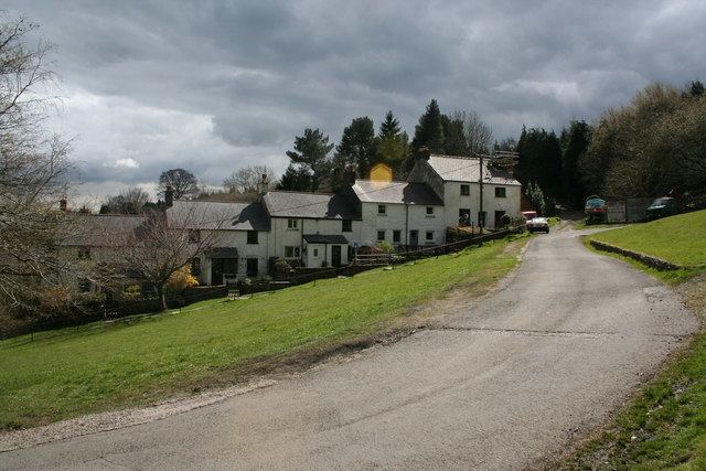
The area is mainly made up of 1950s and 1960s houses with occasional older Victorian properties. There are two pubs, The Queen Inn and The Bush Inn, along with a convenience store. The main thoroughfare is Thornhill Road, which eventually becomes Ty Pwca Road as it heads towards Pontnewydd.
Upper Cwmbran was home to the Cwmbran Brewery which closed in December 2009, and a Welsh longhouse called Gelligravog, built in 1610 above The Square. Gelligravog has more recently become a bed and breakfast known as Gelligravog Farmhouse B&B. The Square is a collection of miners' cottages from about 1820.