District Medchal district Time zone IST (UTC+5:30) Elevation 455 m | City Hyderabad PIN 500 039 Local time Sunday 10:13 PM | |
 | ||
Weather 31°C, Wind SE at 0 km/h, 40% Humidity | ||
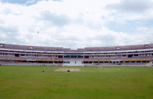
Uppal Kalan is a neighbourhood of Hyderabad in the Medchal district of the Indian state of Telangana. It is the mandal headquarters of Uppal mandal in Keesara revenue division. It was a municipality prior to its merger into the Greater Hyderabad Municipal Corporation.
Contents
Map of Uppal, Hyderabad, Telangana
Demographics
As of 2001 India census, Uppal Kalan had a population of 118,259. Males constitute 52% of the population and females 48%. Uppal Kalan has an average literacy rate of 73%, higher than the national average of 59.5%: male literacy is 80%, and female literacy is 66%. In Uppal Kalan, 12% of the population is under 6 years of age.
In 1991, it had a population of 78,644. The recorded growth rate of this area in 10 years (1991–2001) was about 56 percent.
References
Uppal Kalan Wikipedia(Text) CC BY-SA
