Admin. region Stuttgart Elevation 487 m (1,598 ft) Area 68.06 km² Local time Sunday 3:46 PM Dialling code 07966 | Time zone CET/CEST (UTC+1/+2) Population 4,601 (31 Dec 2008) Postal code 73485 Administrative region Stuttgart | |
 | ||
Weather 16°C, Wind N at 13 km/h, 67% Humidity | ||
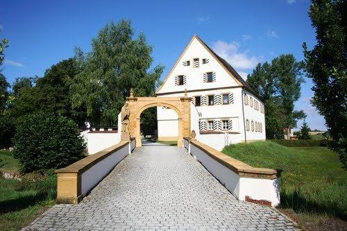
Unterschneidheim is a municipality in the German state of Baden-Württemberg, in Ostalbkreis district.
Contents
Map of 73485 Unterschneidheim, Germany
History
In 1810 Unterschneidheim had 735 inhabitants, Oberschneidheim had 301 inhabitants, (total 1036 inhabitants).
In 1974 the municipalities Geislingen, Nordhausen, Unterwilflingen and Walxheim were incorporated, in 1975 Zipplingen and Zöbingen were also incorporated.
Twin towns – Sister cities
Unterschneidheim is twinned with:
References
Unterschneidheim Wikipedia(Text) CC BY-SA
