Admin. region Stuttgart Area 7.29 km² Postal code 71706 Administrative region Stuttgart | District Ludwigsburg Elevation 194 m (636 ft) Local time Sunday 3:45 PM Dialling code 07147 | |
 | ||
Weather 17°C, Wind NW at 8 km/h, 58% Humidity | ||
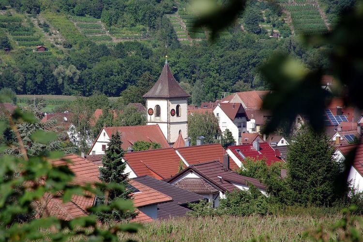
Unterriexingen is a village in the district of Ludwigsburg, Baden-Württemberg, Germany. By 1973 it was incorporated to the city of Markgröningen.
Contents
- Map of Unterriexingen MarkgrC3B6ningen Germany
- Meister 2010 2011 tsv unterriexingen
- Geology
- Location and route network
- Neighbouring
- Sons and daughters of the town
- References
Map of Unterriexingen, Markgr%C3%B6ningen, Germany
Meister 2010 2011 tsv unterriexingen
Geology
Unterriexingen lies on a by the Glems split terrace of the Enz, which rises to the south and was covered by a glacial Loess layer.
Location and route network
The village lies on the northern edge of the Strohgäu about four kilometers north of Markgröningen. Through Unterriexingen flows the Glems. About 400 meters below the town the Glems opens in the Enz.
Neighbouring
Around Unterriexingen are the settlements of Großsachsenheim, Untermberg, Markgröningen, Talhausen, Aichholzhof, Pulverdingen, Enzweihingen, Leinfelder Hof and Oberriexingen (from the north clockwise).
Sons and daughters of the town
References
Unterriexingen Wikipedia(Text) CC BY-SA
