
Time zone CET/CEST (UTC+1/+2) Area 77.53 km² Population 3,817 (31 Dec 2008) | Elevation 108 m (354 ft) Postal codes 29345 Local time Sunday 3:41 PM Postal code 29345 Dialling code 05827 | |
 | ||
Weather 16°C, Wind W at 13 km/h, 55% Humidity | ||
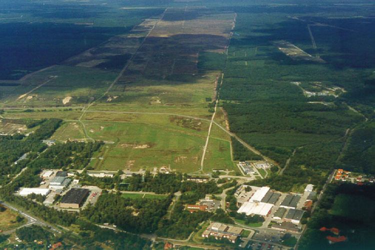
Unterlüß is a village and a former municipality in the district of Celle, in Lower Saxony, Germany. Since 1 January 2015 it is part of the municipality Südheide. It is situated approximately 30 km northeast of Celle, and 25 km southwest of Uelzen.
Contents
Map of Unterl%C3%BC%C3%9F, Germany
History
From August 1944 to April 1945, a satellite camp of Bergen-Belsen concentration camp was in operation at Unterlüß-Altensothrieth. Guarded by SS staff, around 600 female prisoners were forced to clear forest, do building work or to work at the Rheinmetall munitions works.
References
Unterlüß Wikipedia(Text) CC BY-SA