
Country United States FIPS code 01-77904 Area 3.4 km² Zip code 36786 Local time Friday 2:49 PM | Time zone Central (CST) (UTC-6) GNIS feature ID 0153806 Elevation 91 m Population 2,529 (2013) Area code 334 | |
 | ||
Weather 24°C, Wind NW at 21 km/h, 38% Humidity | ||
Uniontown is a city in Perry County, Alabama, in the United States of America. At the 2010 census, the population of the city was 1,775, up from 1,636 in 2000. The census estimate for 2014 gave the population as 2,471. The current mayor is Jamaal O. Hunter.
Contents
- Map of Uniontown AL 36786 USA
- History
- Geography
- 2000 Census data
- 2010 census
- Local events
- Notable people
- Climate
- References
Map of Uniontown, AL 36786, USA
History
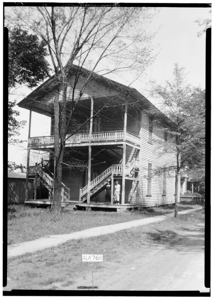
Uniontown was first settled in 1818 by the Wood family and was originally known as Woodville. It formally incorporated in 1836. The name was later changed to Uniontown, after this name was suggested by Philip Weaver. He was a local planter, originally from Uniontown, Maryland. Uniontown has four sites listed on the National Register of Historic Places: Fairhope Plantation, Pitts' Folly, the Uniontown Historic District, and Westwood.
Geography
Uniontown is located at 32°26′56″N 87°30′44″W (32.448984, -87.512287).
According to the U.S. Census Bureau, the city has a total area of 1.3 square miles (3.4 km2), all land.
2000 Census data
At the census of 2000, there were 1,636 people, 617 households, and 433 families residing in the city. The population density was 1,224.9 people per square mile (471.4/km²). There were 743 housing units at an average density of 556.3 per square mile (214.1/km²). The racial makeup of the city was 88.20% Black or African American and 11.80% White. 1.10% of the population were Hispanic or Latino of any race.
There were 617 households out of which 41.2% had children under the age of 18 living with them, 26.1% were married couples living together, 40.8% had a female householder with no husband present, and 29.7% were non-families. 28.0% of all households were made up of individuals and 11.0% had someone living alone who was 65 years of age or older. The average household size was 2.65 and the average family size was 3.27.
In the city, the population was spread out with 37.3% under the age of 18, 10.7% from 18 to 24, 22.2% from 25 to 44, 16.1% from 45 to 64, and 13.7% who were 65 years of age or older. The median age was 26 years. For every 100 females there were 72.9 males. For every 100 females age 18 and over, there were 60.8 males.
The median income for a household in the city was $12,386, and the median income for a family was $14,148. Males had a median income of $21,625 versus $14,261 for females. The per capita income for the city was $8,268. About 48.2% of families and 47.4% of the population were below the poverty line, including 60.4% of those under age 18 and 31.9% of those age 65 or over.
2010 census
At the census of 2010, there were 2,684 people, 720 households, and 530 families residing in the city. The population density was 1,365.4 people per square mile (507.1/km²). There were 764 housing units at an average density of 587.7 per square mile (218.3/km²). The racial makeup of the city was 90.6% Black or African American and 9.1% White. .5% of the population were Hispanic or Latino of any race.
There were 720 households out of which 36.8% had children under the age of 18 living with them, 20.2% were married couples living together, 44.2% had a female householder with no husband present, and 30.5% were non-families. 28.5% of all households were made up of individuals and 9.5% had someone living alone who was 65 years of age or older. The average household size was 2.69 and the average family size was 3.27.
In the city, the population was spread out with 35.8% under the age of 18, 9.8% from 18 to 24, 22.9% from 25 to 44, 21.2% from 45 to 64, and 10.3% who were 65 years of age or older. The median age was 28.4 years. For every 100 females there were 79.7 males. For every 100 females age 18 and over, there were 72.4 males.
The median income for a household in the city was $15,054, and the median income for a family was $17,473. Males had a median income of $34,038 versus $23,438 for females. The per capita income for the city was $9,452. About 43.1% of families and 45.2% of the population were below the poverty line, including 55.2% of those under age 18 and 51.5% of those age 65 or over.
Local events
Uniontown is known for their 11 state high school basketball championships. The last championship team was led by former Auburn University guard Frankie Sullivan, who scored 51 points in the championship game.
Notable people
Climate
The climate in this area is characterized by hot, humid summers and generally mild to cool winters. According to the Köppen Climate Classification system, Uniontown has a humid subtropical climate, abbreviated "Cfa" on climate maps.