
Country United States GNIS feature ID 453921 Local time Friday 2:03 PM | FIPS code 18-77390 Elevation 248 m Population 2,689 (2010) | |
 | ||
Weather 10°C, Wind W at 24 km/h, 86% Humidity Area 93.63 km² (93.6 km² Land / 3 ha Water) | ||
Union Township is one of nine townships in Johnson County, Indiana. As of the 2010 census, its population was 2,689 and it contained 1,068 housing units.
Contents
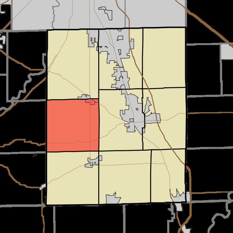
Map of Union Township, IN, USA
Union Township was organized in 1830.
Geography
According to the 2010 census, the township has a total area of 36.15 square miles (93.6 km2), of which 36.14 square miles (93.6 km2) (or 99.97%) is land and 0.01 square miles (0.026 km2) (or 0.03%) is water.
References
Union Township, Johnson County, Indiana Wikipedia(Text) CC BY-SA