
Time zone CST (UTC-6) Elevation 186 m Local time Friday 12:59 PM | Established November 6, 1860 ZIP codes 61920, 62420, 62428 Area 136.9 km² Population 690 (2010) | |
 | ||
Weather 6°C, Wind NW at 26 km/h, 96% Humidity | ||
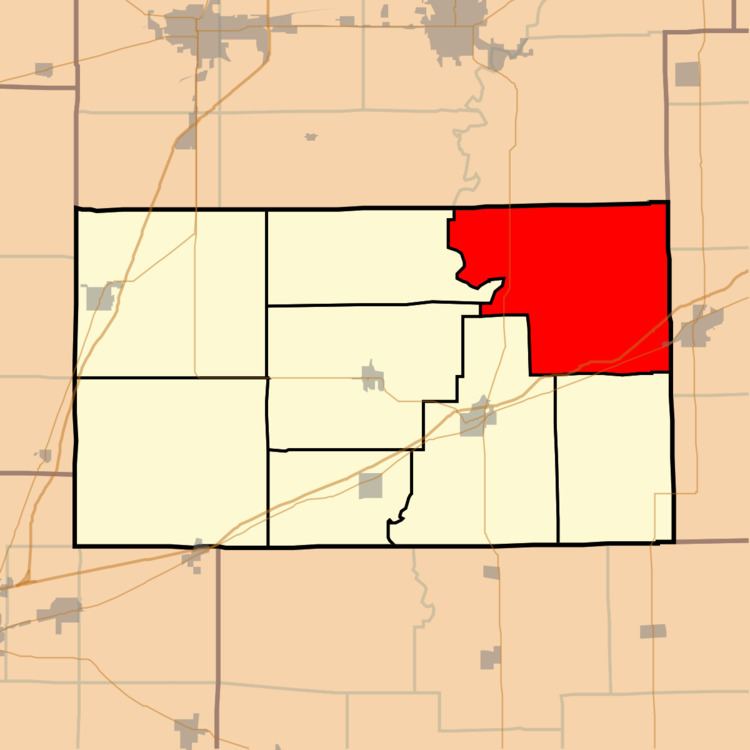
Union Township is one of eight townships in Cumberland County, Illinois, USA. As of the 2010 census, its population was 690 and it contained 313 housing units.
Contents
- Map of Union Township IL USA
- Geography
- Cities towns villages
- Unincorporated towns
- Cemeteries
- Major highways
- School districts
- Political districts
- References
Map of Union Township, IL, USA
Geography
According to the 2010 census, the township has a total area of 52.87 square miles (136.9 km2), of which 52.77 square miles (136.7 km2) (or 99.81%) is land and 0.11 square miles (0.28 km2) (or 0.21%) is water.
Cities, towns, villages
Unincorporated towns
Cemeteries
The township contains these nine cemeteries: Bell, Decker, Garrett, Jack Oak, Long Point, Macedonia, Neal, Nebo and Union.
Major highways
School districts
Political districts
References
Union Township, Cumberland County, Illinois Wikipedia(Text) CC BY-SA