
Country United States FIPS code 19-94293 Area 91.68 km² Local time Friday 12:26 PM | Time zone CST (UTC-6) GNIS feature ID 0468849 Elevation 377 m Population 761 (2010) | |
 | ||
Weather 4°C, Wind N at 18 km/h, 76% Humidity | ||
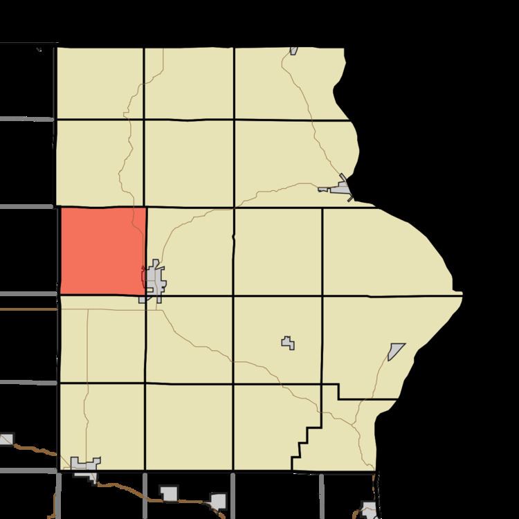
Union Prairie Township is one of eighteen townships in Allamakee County, Iowa, USA. At the 2010 census, its population was 761.
Contents
Map of Union Prairie, IA 52172, USA
History
Union Prairie Township was organized in 1852.
Geography
Union Prairie Township covers an area of 35.4 square miles (92 km2) and contains no incorporated settlements. According to the USGS, it contains three cemeteries: Eells Plot, Mount Olivet and West Ridge.
References
Union Prairie Township, Allamakee County, Iowa Wikipedia(Text) CC BY-SA