
Area 1,658 km² Population 212,756 (2013) | Congressional districts 9th Website www.co.union.nc.us Founded 1842 | |
 | ||
Colleges and Universities Wingate University, Southern Evangelical Seminary, Regina's College of Beauty-Monroe Points of interest Stallings Municipal Park, Why Not An American, Museum of the Alphabet, Crossing Paths Park, Dickerson Park | ||
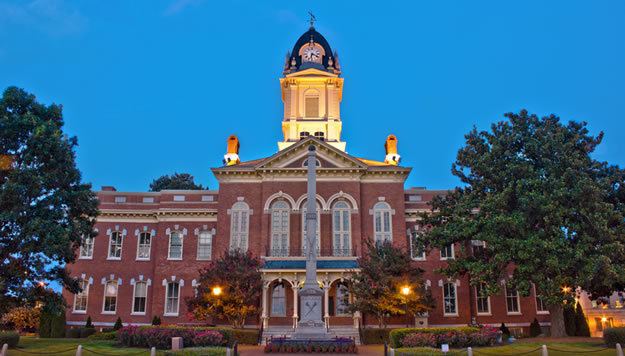
Union County is a county located in the U.S. state of North Carolina. As of the 2010 census, the population was 201,292. Its county seat is Monroe.
Contents
- Map of Union County NC USA
- History
- Geography
- Adjacent counties
- Major highways
- Demographics
- Law and government
- Education
- Events
- City
- Villages
- Census designated place
- Unincorporated communities
- Ghost towns
- References
Map of Union County, NC, USA
Union County is included in the Charlotte-Concord-Gastonia, NC-SC Metropolitan Statistical Area.
History
The county was formed in 1842 from parts of Anson County and Mecklenburg County. Its name was a compromise between Whigs, who wanted to name the new county for Henry Clay, and Democrats, who wanted to name it for Andrew Jackson. The Helms, Starnes, McRorie, and Belk families took a major part in the Monroe and Charlotte, North Carolina. Most of these families came from Goose Creek Township.
Monroe, the county seat of Union County, also became a focal point during the Civil Rights Movement. In 1958, local NAACP Chapter President Robert F. Williams defended a nine-year-old African-American boy who had been kissed by a white girl in an incident known as the Kissing Case. A second African-American boy, aged seven, was also convicted and sentenced to live in a juvenile reformatory until he was 21 for simply witnessing the act. In 1961, Williams was accused of kidnapping an elderly white couple, when he sheltered them in his house during a very explosive situation of high racial tensions. Williams fled and went into exile in Cuba and in the People's Republic of China before returning to the United States.
Geography
According to the U.S. Census Bureau, the county has a total area of 640 square miles (1,700 km2), of which 632 square miles (1,640 km2) is land and 8.0 square miles (21 km2) (1.3%) is water.
Adjacent counties
Major highways
Demographics
As of the census of 2010, there were 201,292 people, 67,864 households, and 54,019 families residing in the county. The population density was 194 people per square mile (75/km²). There were 45,695 housing units at an average density of 314 per square mile (28/km²). The racial makeup of the county was 79.0% White, 11.7% Black or African American, 0.4% Native American, 1.6% Asian, 0.03% Pacific Islander, 5.3% from other races, and 1.9% from two or more races. 10.4% of the population were Hispanic or Latino of any race.
There were 67,864 households out of which 42.1% had children under the age of 18 living with them, 64.60% were married couples living together, and 10.70% had a female householder with no husband present. 6.10% had someone living alone who was 65 years of age or older. The average household size was 2.94 and the average family size was 3.3.
In the county, the population was spread out with 32.90% under the age of 20, 4.7% from 20 to 24, 27.7% from 25 to 44, 25.2% from 45 to 64, and 9.6% who were 65 years of age or older. The median age was 36.2 years. The population was 49.4% male.
Law and government
Union County is a member of the regional Centralina Council of Governments.