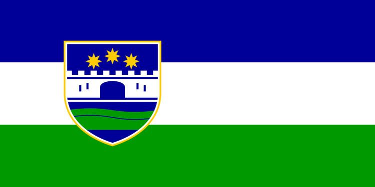
Flag Coat of arms Local time Friday 8:30 AM University University of Bihać | Capitaland largest city Bihać Population 273,261 (2013) | |
 | ||
Ethnic groups (2013) 90.02% Bosniaks3.09% Serbs1.85% Croats5.04% others Weather 7°C, Wind E at 3 km/h, 76% Humidity Currency Bosnia and Herzegovina convertible mark | ||
Wild crocus at the bloom in una sana canton bosnia 28 03 2009
The Una-Sana Canton (Bosnian: Unsko-sanski kanton; Croatian: Unsko-sanska županija; Serbian Cyrillic: Унско-сански кантон) is the first of the ten cantons of the Federation of Bosnia and Herzegovina entity within Bosnia and Herzegovina. It is located in the northwest of the country and has been named after the rivers Una and Sana. The center of the cantonal government is Bihać. The canton is bordered by Republika Srpska from east, Canton 10 from southeast, and Croatia from south, west, and north.
Contents
- Wild crocus at the bloom in una sana canton bosnia 28 03 2009
- Map of Una Sana Canton Bosnia and Herzegovina
- Equipment donated to civil protection services in una sana canton
- Municipalities
- 1991
- 2013
- Traffic
- References
Map of Una-Sana Canton, Bosnia and Herzegovina
Equipment donated to civil protection services in una sana canton
Municipalities
It is divided into municipalities (usually eponymous with towns) of Bihać, Bosanska Krupa, Bosanski Petrovac, Bužim, Cazin, Ključ, Sanski Most and Velika Kladuša.
1991
In the 1991 census, the canton of Una-Sana had 330,479 residents, including:
2013
In the 2013 census, the canton of Una-Sana had 273,261 residents, including:
Traffic
Due to the proximity to Croatia and that country's narrow northern outline, various important traffic lines between Zagreb and the Adriatic traverse the Una-Sana canton, such as the railway line Bosanski Novi — Bihać — Knin. The largest airport of Željava is located near Bihać and is located right between Bosnian and Croatian border.
