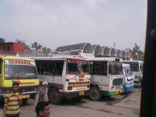
District Una Website hpuna.nic.in Local time Friday 11:59 AM | Time zone IST (UTC+5:30) Elevation 369 m | |
 | ||
Weather 34°C, Wind W at 13 km/h, 27% Humidity University Indus International University Neighborhoods HRTC Colony, Vikas Nagar, Ram Nagar, Shailja Vihar, Chanderlok Colony | ||
Una is a city and a municipal council in Una district in the Indian state of Himachal Pradesh.
Contents
Map of Una, Himachal Pradesh 174303
Geography and climate
Una is located at 31.48°N 76.28°E / 31.48; 76.28. It has an average elevation of 369 metres (1,210 feet).
Demographics
As of 2011 India census, In 2011, Una had population of 5,21,789 . Town touches its border with the state of Punjab.
References
Una, Himachal Pradesh Wikipedia(Text) CC BY-SA
