
State Paraná Time zone UTC-3 Elevation 430 m Population 90,105 (2010) Number of airports 1 | Region South Founded July 4, 1955 Postal Code 87500-000 Area 1,227 km² Local time Friday 2:11 AM | |
 | ||
Weather 21°C, Wind E at 11 km/h, 68% Humidity Colleges and Universities Universidade Paranaense | ||
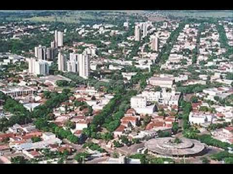
Umuarama is a city of the Brazilian state of Paraná. Its population was 102,704 inhabitants in the 2010 census. Umuarama is one of the most important cities in Paraná, one of the three states of southern Brazil. The city elevation is 430 m (1,300 feet) above sea level and the rainfall is about 1600mm/year (63 inches/yr). Umuarama is known as "The Capital of Friendship".
Contents
Map of Umuarama, Paran%C3%A1, Brazil
History
The municipality was founded in 1955, and colonized by Companhia Melhoramentos Norte do Paraná, a company that settled an important number of cities in Northern Paraná.
Tourism
There are a lot of places to visit in Umuarama, the most important are:
Umuarama is served by Orlando de Carvalho Airport.
Numbers
Notable people
References
Umuarama Wikipedia(Text) CC BY-SA