
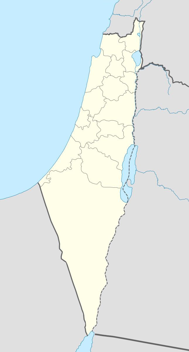
Arabic أُم الشوف Population 480 (1945) Local time Friday 7:46 AM | Also spelled Umm al Shauf Palestine grid 154/217 | |
 | ||
Weather 13°C, Wind SE at 8 km/h, 96% Humidity | ||
Umm al-Shawf or Umm ash Shauf (Arabic: أُم الشوف, Umm esh Shauf) was a Palestinian Arab village located 29.5 km south of Haifa, on the sloping section of Wadi al-Marah. It was depopulated as a result of a military assault between May 12–14, just before the outbreak of the 1948 Arab-Israeli war.
Map of %D8%A7%D9%85 %D8%A7%D9%84%D8%B4%D9%88%D9%81%D8%8C Givat Nili, Israel%E2%80%AD
References
Umm ash Shauf Wikipedia(Text) CC BY-SA