
Local time Friday 7:45 AM | Population 2,588 (2004) | |
 | ||
Weather 12°C, Wind W at 6 km/h, 88% Humidity | ||
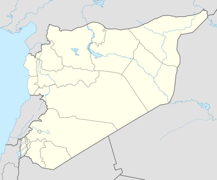
Umm al-Tuyour (Arabic: أم الطيور, also spelled Umm al-Tiyur) is a village in northwestern Syria, administratively part of the Hama Governorate, located west of Hama. Nearby localities include Kafr al-Tun to the northeast, Maarzaf to the north, Aqrab to the northwest, Deir al-Salib to the southwest, Billin to the south, al-Rabiaa to the southeast and Tayzin to the east. According to the Syria Central Bureau of Statistics (CBS), Umm al-Tuyour had a population of 2,588 in the 2004 census. Its inhabitants are predominantly Alawites.
Map of Umm al-Tuyour, Syria
References
Umm al-Tuyour, Hama Governorate Wikipedia(Text) CC BY-SA