
Elevation 190-400 m (−1,120 ft) Area 122 km² | Time zone BTT (UTC+6) Population 3,129 (2014) | |
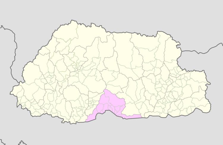 | ||
Umling Gewog (Dzongkha: ཨུམ་གླིང་) is a gewog (village block) of Sarpang District, Bhutan.
Umling Geog is situated in the central Southern foothills of Sarpang Dzongkhag, bordering Assam, India in the South, and Chuzagang Geog in the West, Tareythang Geog in the East and Zhemgang Dzongkhag in the North.
Its total geographical area is approximately 122 km2 out of which 1480 acres is an arable land. It has undulated terrain with an elevation ranging from 190m to 400m above sea level. It has warm and humid climatic condition in winter and hot and rainy climatic conditions in summer.
It is approximately 33 km away from the Dungkhag headquarters (Gelephu) and is connected with the farm road which is inaccessible in the monsoon season due to heavy downpour. It has a total population of 3129 with almost hundred percent people dependent upon agriculture.
Arecanut and ginger are grown as principal cash crop while paddy and maize are cultivated as main crop by the farmers. Beside farmers also rear domestic animals like cows, oxen, goats, sheep, etc. which ultimately add to their livelihood.
Until 2011 Local Government election, the Geog had eight Chiwogs, namely: Chhuborthang, Daangling, Doongmin, Gaden, Lingar, Rijoog, Tashithang and Thongjazor and was merged into five Chiwogs, namely: Daangling, Doongmin, Gaden, Rijoog and Tashithang after the first LG Election. The Geog is administratively headed by Gelephu Dungkhag and subsequently by Sarpang Dzongkhag.