
Time zone EET (UTC+2) Licence plate 52 Elevation 602 m Local time Friday 5:13 AM | Region Black Sea Postal code 52xxx Climate Cfb Area 304 km² Area code 0452 | |
 | ||
Weather 4°C, Wind E at 10 km/h, 88% Humidity | ||
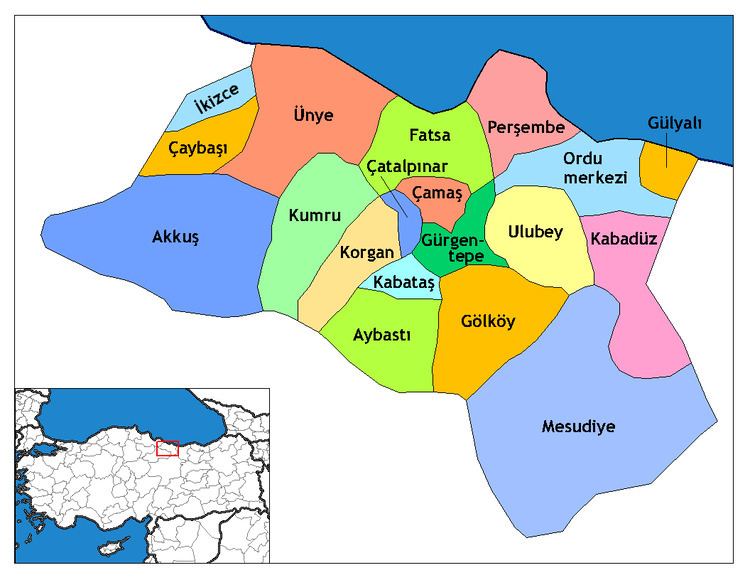
Ulubey is a town and district of Ordu Province in the Black Sea region of Turkey, 21 km (13 mi) south of the Black Sea in the Pontic Mountains. The Melet River runs through the district. According to the 2000 census, population of the district is 29,227 of which 9,128 live in the town of Ulubey. The district covers an area of 304 km2 (117 sq mi), and the town lies at an elevation of 602 m (1,975 ft).
Contents
Map of Ulubey, %C3%87atall%C4%B1 Mahallesi, 52850 Ulubey%2FOrdu, Turkey
Economy
The economy of the district depends mainly on agriculture. Hazelnuts, beekeeping, dairy farming, corn, and kale are the main products. In recent decades the population has declined as people have migrated away to jobs in Turkey's larger cities or abroad, now mainly their grandparents remain.
Villages
The villages of Ulubey district include Akoluk, Akpınar, Aydınlar, Başçardak, Belenyurt, Cevizlik, Çağlayan, Çubuklu, Doğlu, Durakköy, Elmaçukuru, Eymür, Fındıklı, Güvenköy, Güvenyurt, Güzelyurt, Hocaoğlu, Kadıncık, Kalıcak, Kardeşler, Kıranyağmur, Kirazlık, Koşaca, Kumanlar, Kumrulu, Ohtamış, Oyumgürgen, Örenköy, Refahiye, Şahinkaya, Şekeroluk, Şeyhler, Uzunmahmut, Yenisayaca, and Yukarıkızılen.