
Location Pacific Ocean Highest elevation 181 m (594 ft) Elevation 181 m | Population 3297 (2009) Area 65.92 km² | |
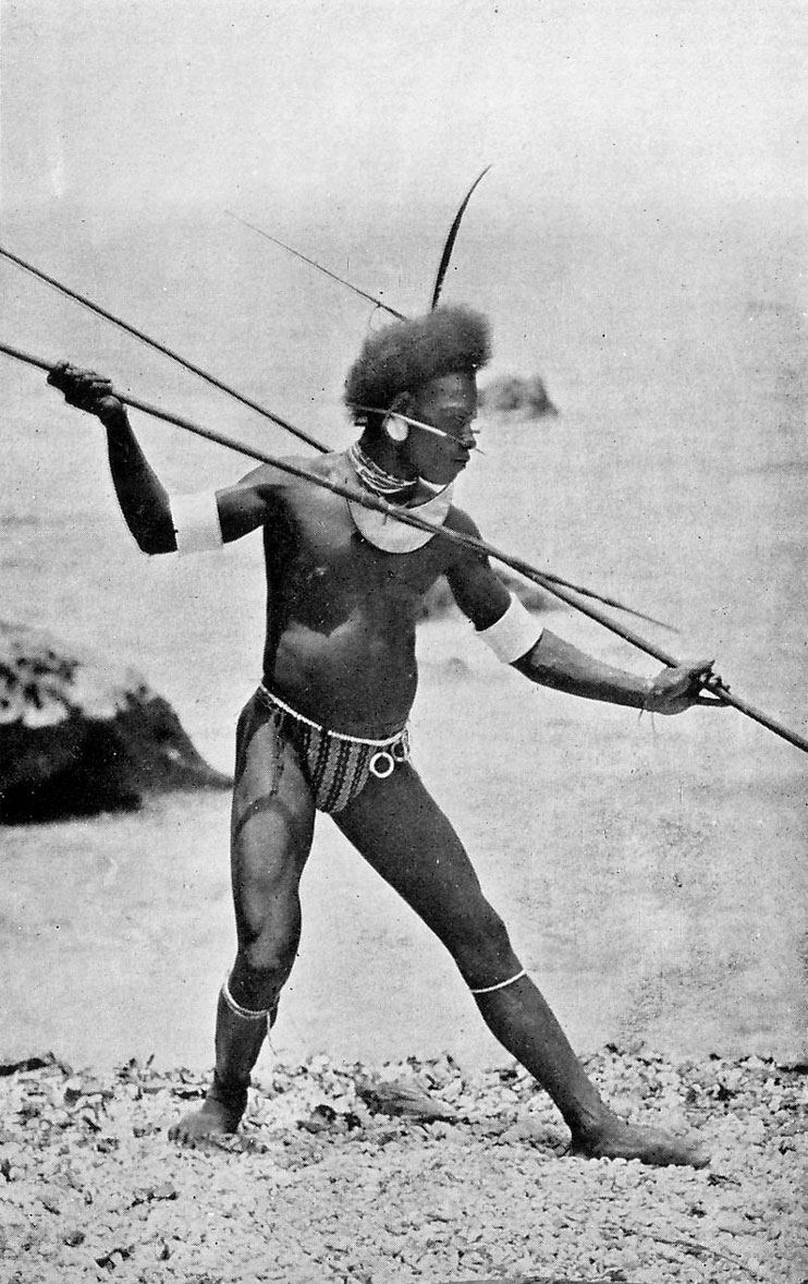 | ||
Ulawa Island is an island in the Solomon Islands. It is located near Malaita Island and belongs to Makira Ulawa Province. The island has an area of 65.92 square kilometres (25 square miles).
Contents
Map of Ulawa Island, Solomon Islands
A hilly island, its highest point is 181 metres (594 feet) above sea level. Average temperatures are around 27 °C year-round, and the island receives an annual average rainfall of some 2,800 mm (110.24 inches).
A dialect of the Sa'a language is spoken on Ulawa.
History
First recorded sighting by Europeans was by the Spanish expedition of Álvaro de Mendaña in May 1568. More precisely the sighting and also landing in Ulawa was due to a local voyage done by a small boat, in the accounts the brigantine Santiago, commanded by Alférez Hernando Enríquez and having Hernán Gallego as pilot. They charted it as La Treguada and reported that the name given to it by the natives was Uraba.