
 | ||
Spinelli da mahenge ulanga district morogoro region tanzania africa
Ulanga District (Mahenge District) is one of the six districts of the Morogoro Region of Tanzania. the administrative seat is in Mahenge. It covers 24,460 square kilometres (9,444 sq mi) of which 4,927 square kilometres (1,902 sq mi) is in forest reserves. Ulanga District is bordered to the north and west by the Kilombero District, to the east by the Lindi Region and to the south by the Ruvuma Region.
Contents
- Spinelli da mahenge ulanga district morogoro region tanzania africa
- Map of Ulanga Tanzania
- Demographics
- Economy
- Constituencies
- Divisions
- Wards
- References
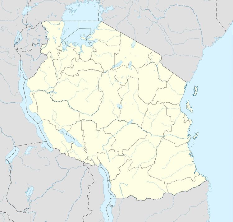
Map of Ulanga, Tanzania
Demographics
As of 2002, the population of the Ulanga District was 194,209. The Wapogoro are the majority ethnic group in Ulanga District.
Economy
Most people are employed in herding and subsistence farming, although there is some traditional fishing. Some mining is done in Lukande Ward.
Roads are poor. There is one gravelled airstrip located in the Selous Game Reserve.
Constituencies
For parliamentary elections, Tanzania is divided into constituencies. As of the 2010 elections Ulanga District had two constituencies:
Divisions
Ulanga District is administratively divided into five divisions.
Wards
Ulanga District is administratively divided into thirty-one wards: