PIN 481105 Elevation 608 m Local time Friday 2:19 AM | Time zone IST (UTC+5:30) Vehicle registration MP-50 Population 7,108 (2001) ISO 3166 code ISO 3166-2:IN | |
 | ||
Weather 26°C, Wind N at 2 km/h, 26% Humidity | ||
Ukwa is a census town in Balaghat district in the Indian state of Madhya Pradesh.
Contents
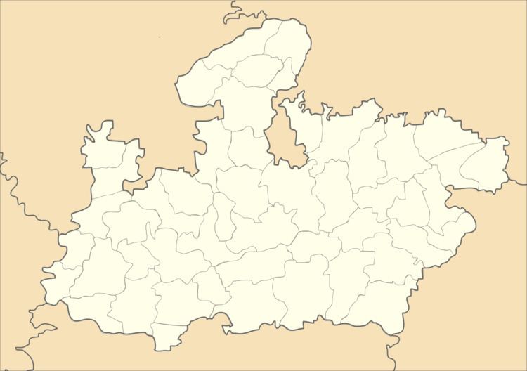
Map of Ukwa, Madhya Pradesh 481105
Geography
Ukwa is located at 21.97°N 80.47°E / 21.97; 80.47. It has an average elevation of 608 metres (1994 feet).
Demographics
As of 2001 India census, Ukwa had a population of 7108. Males constitute 50% of the population and females 50%. Ukwa has an average literacy rate of 72%, higher than the national average of 59.5%: male literacy is 80%, and female literacy is 64%. In Ukwa, 14% of the population is under 6 years of age.
Manganese mine
The Manganese mine of Ukwa Mine is developed by Britishers. It is the largest deposit of Manganese Ore as an under ground Mine. The largest first aerial ropeway Line in Asia was used to transport the ore from Ukwa to Bharweli. Mode of opening is incline, in year 2012 shaft sinking is started after the sinking ukwa mines are also produce large amount of manganese ore. In 2012 MOIL celebrated its golden jubilee year, in ukwa mine also organized many different program.
Forest
The Ukwa is surrounded by dense forest having Sal, Tendu, Beeja, Teak, and so many varieties of woods. The Tribes Baiga and Gonds are lives in the forest.
Places
Ukwa is a small town. The distance between ukwa to balaghat 45KM.
velly
