ISO 3166 code IN-WB Elevation 12 m Population 13,548 (2011) | Time zone IST (UTC+5:30) Lok Sabha constituency Bangaon Area 9.56 km² Area code 03473 | |
 | ||
Ukrah is a village in Nadia district in the Indian state of West Bengal. It is located around 50 kilometres (31 mi) from Kolkata — the capital of West Bengal, forming the northern most boundary of Kolkata metropolitan area.
Contents
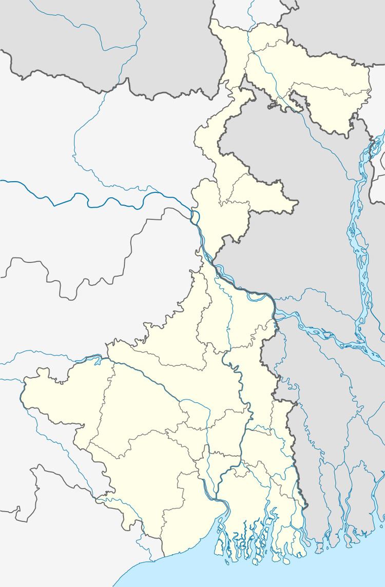
Map of Nagarukhra, West Bengal
Geography
Ukrah is located at 22.944938°N 88.660307°E / 22.944938; 88.660307. It has an average elevation of 12 metres (39 feet). It is bound by the Jamuna River on the north. The village is 60 km approximately far from district headquarter, Krishnagar and approximately 50 km. from the state capital, Kolkata.
Demographics
As of 2011 India census, Ukrah had a population of 13,548, comprising 6974 males and 6574 females. Ukrah has an average literacy rate of 83.91%, with 1,309 (9.66%) of the town's population between 0–6 years of age.
Groundwater contamination
Ukrah is one of the areas where the groundwater is affected by arsenic contamination.
