
Country Lithuania Area 1,395 km2 | Capital Ukmerge Mayor Algirdas Kopustas | |
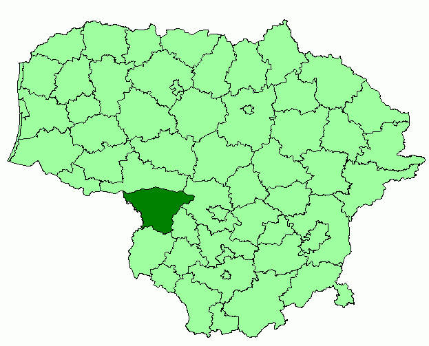
The Ukmerge District Municipality is a municipality in Vilnius County, Lithuania. The capital of the municipality is Ukmerge, the largest settlement and only city in the municipality. The entire municipality belongs to Aukstaitija ethnographic region.
Contents
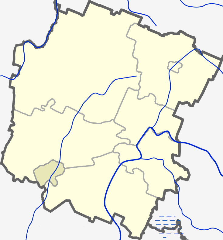
Map of Ukmerge District Municipality
Settlements
There are 10 towns in Ukmerge municipality: Deltuva, Lyduokiai, Pabaiskas, Siesikai, Sesuoliai, Taujenai, Vepriai, Vidiskiai, Zelva and Zemaitkiemis. Ukmerge municipality shares the second place in Lithuania (with Radviliskis District Municipality) according to the number of towns. There are 612 villages in the municipality.
Vepriai is the most populous town in the municipality and is a local tourism (notably rural tourism) center. Siesikai is best known for the 16th century Renaissance Siesikai (Daumantai) Castle near Siesikai Lake. Deltuva has been the centre of the important Deltuva Land at the emergence of the centralised Lithuanian State. The ruins of one of the first Calvinist churches in Lithuania (17th century, Renaissance style) are near Deltuva. Pabaiskas was established near the location where the notorious Battle of Pabaiskas between the armies led by Zygimantas Kestutaitis and Svitrigaila has taken place on 1 September 1435.
The first president of the independent Lithuanian state Antanas Smetona was born in Uzulenis, now Ukmerge District.
Geography
The eastern part of the municipality belongs to Aukstaitian Highlands and the north-western part is in Middle Lithuanian Lowlands.
Sventoji River is the largest river in the municipality and Sirvinta River is the second. The other rivers are Siesartis, Musa and Armona. Lake Lenas is the largest lake (2.65 km²) and Lake Zirnajai is the deepest (average of 9.8 meters).
Woodlands cover about 29 percents of the district, swamps occupy 2.3 percent and 54.5 percent is an arable land.