
Local time Friday 2:52 AM Province North Pyongan | Area 420 km² Population 110,018 (2008) Number of airports 1 | |
 | ||
Administrative divisions 1 ŭp, 2 workers' districts, 17 ri Weather 6°C, Wind N at 13 km/h, 48% Humidity | ||
Ŭiju County is a kun, or county, in North Pyongan Province, North Korea. The county has an area of 420 km², and a population of 110,018 (2008 data).
Contents
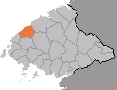
- Map of Uiju North Pyongan North Korea
- Geography
- Administrative Divisions
- Transportation
- 1980 earthquake
- References
Map of Uiju, North Pyongan, North Korea
Geography
Sakchu county and Kusŏng lie to the east; Sŏnch'ŏn and Ch'ŏlsan counties to the south; and Ryongch'ŏn county and Sinŭiju to the west. To the north, Ŭiju shares a border with China.
Administrative Divisions
Ŭiju county is divided into 1 ŭp (town), 2 rodongjagu (workers' districts) and 17 ri (villages):
Transportation
Ŭiju county is served by the Tŏkhyŏn Line of the Korean State Railway]]. There is also an airport, Uiju Airfield (ICAO airport code: ZKUJ).
1980 earthquake
Ŭiju earthquake was a 5.3 magnitude earthquake that occurred in Ŭiju County in 1980. It is the largest earthquake by magnitude recorded in the Korean Peninsula since South Korea began official earthquake observation in 1978.