Country Ukraine Established 1427 Time zone EET (UTC+2) Area 217 ha Postal code 81553 | District Horodok Raion Elevation/(average value of) 285 m (935 ft) Area code +380 3231 Local time Thursday 9:11 PM Province Lviv Oblast | |
 | ||
Weather 6°C, Wind NE at 5 km/h, 68% Humidity | ||
Uhry
Uhry (Ukrainian: У́гри, previous name – Uhertsi, Polish: Uherce Niezabitowskie) is a village (selo) in the Lviv Oblast (province) of Western Ukraine. The village covers an area of 2,17 km2 and the population is around 1134 people.
Local government is administered by Uhrivska village council.
Contents
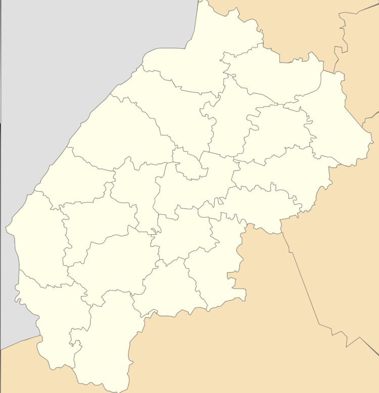
Map of Uhry, Lvivska, Ukraine
Geography
The village Uhry is located in the Horodok district (Horodok Raion) at a distance of 6 kilometres (3.7 mi) from the highway in Ukraine connecting Lviv with Przemyśl. It is situated in the 37 kilometres (23 mi) from the regional center Lviv, 9 kilometres (5.6 mi) from the district center Horodok and 64 kilometres (40 mi) to the Przemyśl.
History
Uhry was probably founded in the fifteenth century; records first mention it in 1427. The village has been of the Polish family Nezabytovsky until First World War. The Nezabytovski family were held in high esteem and respect for among the local population.
Cult constructions and religion
In the village there are two churches:
