
Max. width 5 km (3.1 mi) Area 249 km² Length 143 km | Max. length 143 km (89 mi) Surface area 249 km (96 sq mi) Mean depth 5 m Width 5 km | |
 | ||
Type Hydroelectric reservoir Primary inflows Inflow source Volga River, Kashinka River, Nerl River, Medveditsa River | ||
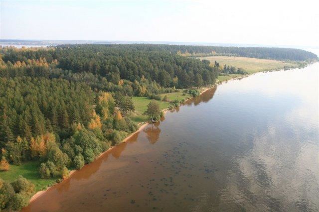
Uglich Reservoir or Uglichskoye Reservoir (Russian: У́гличское водохрани́лище) is an artificial lake in the upper part of the Volga River formed by the Uglich Hydroelectric Station dam.
Contents
Map of Uglich Reservoir, Tver Oblast, Russia
It was built in 1939 in the town of Uglich. It is located in Tver and Yaroslavl Oblasts in central Russia.
Description
The Uglich Reservoir has a surface area of 249 km² and a water volume of 1.2 km3. Its length is 143 km, it maximum width is 5 km, and average depth is 5 m (with maximum depth equaling 23 m). The Uglich Reservoir was created for the benefit of transportation, energy, and water supply. It also performs seasonal flow regulation. The towns of Uglich, Kalyazin, and Kimry are located along the reservoir.
The construction of the dam led to a 15th-century monastery in Uglich and 16th-century monastery in Kalyazin being submerged by the artificial lake. The Flooded Belfry is an example of a submerged landmark.